
Projects and Case Studies
Aerial Imagery with UAS
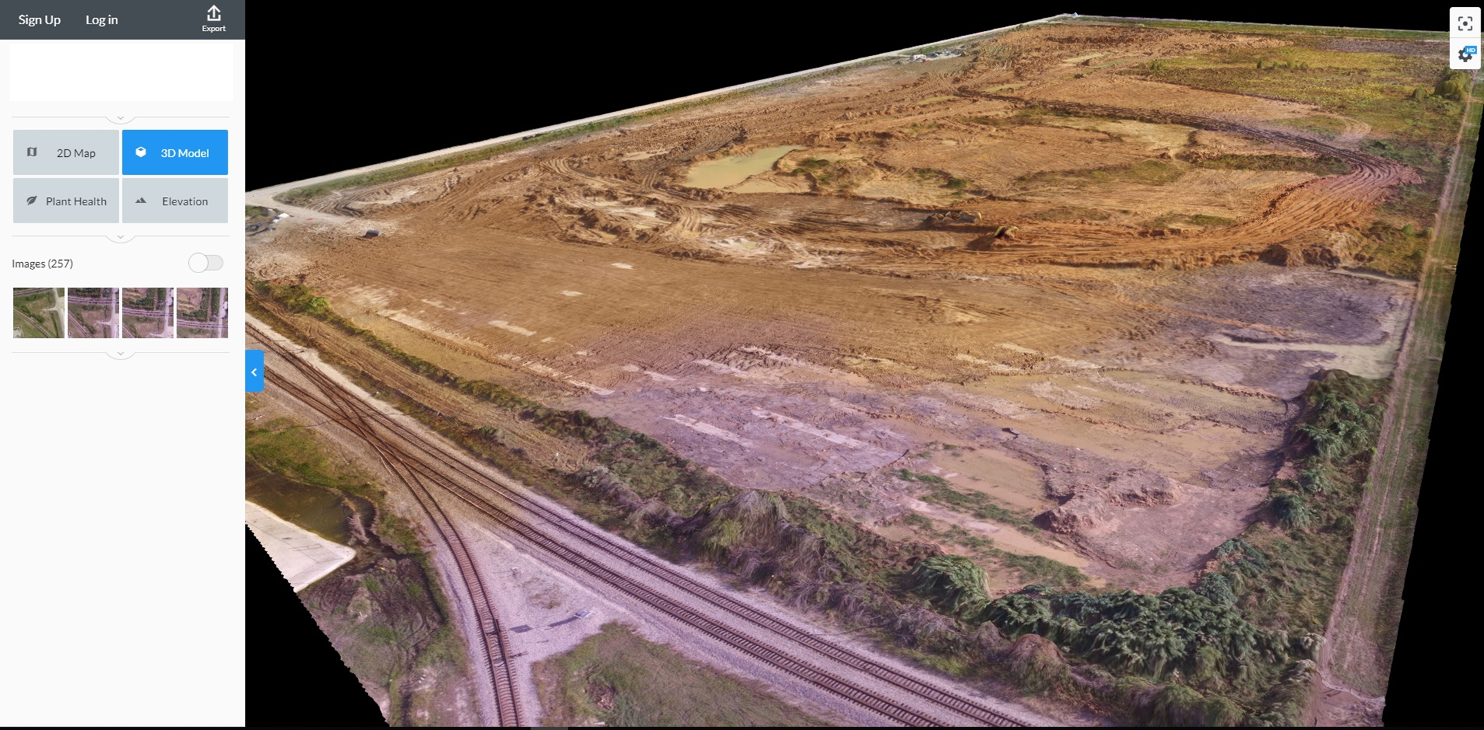
OmniVueNDT utilized unmanned aerial systems (UAS) to capture high-resolution aerial imagery for site analysis and project planning. The project focused on collecting accurate visual data from above to support mapping, inspection, and overall site evaluation. By leveraging advanced drone technology, OmniVueNDT provided efficient data collection, improved visibility of site conditions, and enhanced decision-making for construction and infrastructure projects.