
Utility Locating Services
Accurate detection and mapping of underground utilities to prevent costly damage, project delays, and safety risks.
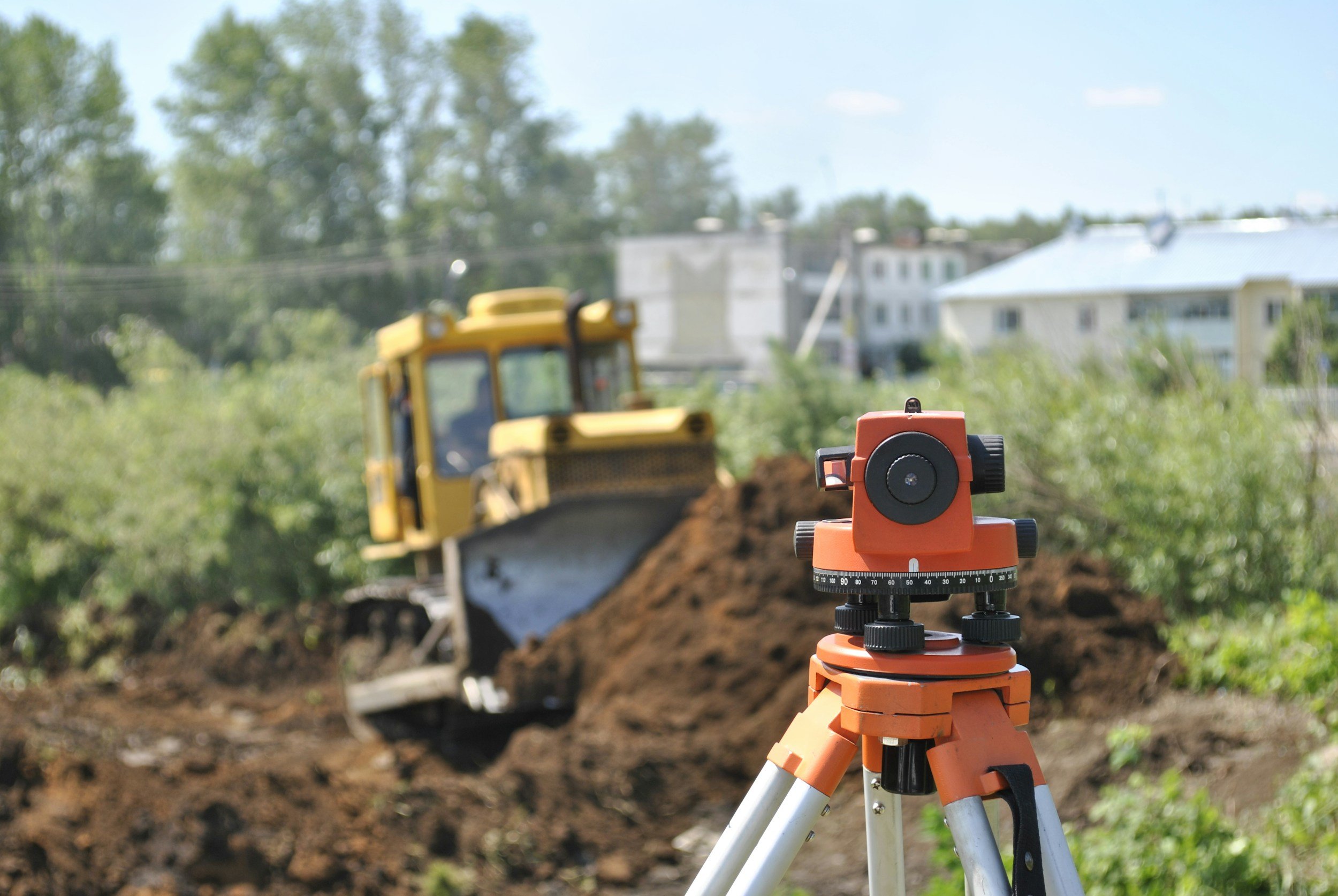
Protect What’s Below Before You Build Above
Utility locating uses advanced Ground Penetrating Radar (GPR) and electromagnetic detection technology to identify buried utilities prior to excavation, drilling, or construction activities. Our team provides accurate, real-time subsurface mapping to help contractors, engineers, and facility managers avoid utility strikes and maintain project safety.
Utilities We Detect & Map
Electrical conduits
Gas lines
Water mains
Sewer lines
Communication and fiber optic lines
Storm drainage systems
Unknown or undocumented utilities
Reduce Risk. Prevent Downtime. Ensure Safety.
Utility strikes can result in:
Severe job site injuries
Project shutdowns
Expensive repairs
Regulatory penalties
Delays and litigation
Our locating services help mitigate these risks before ground is disturbed.
Advanced Subsurface Detection Technology
We utilize:
Ground Penetrating Radar (GPR)
Electromagnetic (EM) utility locators
GPS-enabled mapping systems
3D subsurface modeling when required
This combination ensures high-accuracy detection in complex environments.
Who We Serve
Civil contractors
General contractors
Municipalities
Engineering firms
Industrial facilities
Commercial developers
Utility providers
Why Choose OmniVue NDT for Utility Locating?
Experienced certified technicians
High-resolution subsurface imaging
Detailed documentation and reporting
Fast turnaround times
Integrated mapping support
Don’t Break Ground Without Knowing What’s Below
Contact our team today to schedule a utility locate and protect your project from unnecessary risk.